Like being on the ocean, there are huge, ever-changing big-sky vistas to get your head around. The ears take on a new sensitivity in "the beckoning silence" - where even in the desert the birdlife is astonishing. The body adapts to the Namib massage - local shorthand for the unending corrugated road surfaces which shake both vehicles and people to pieces. And then there is that most elusive of Namib sensations - the dunes of the Namib vibrating with the 'Soo-oop-wa'. "The sand shrieks beneath your feet"- wrote John Mash who first described the Skeleton Coast in his 1944 book.
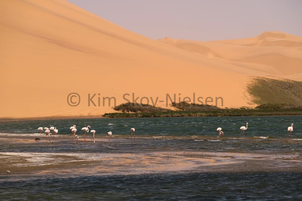 Sandwick Harbour Flamingos
The Namib is the oldest desert on earth - a 200+ million-year-old riverbed of volcanic table-top mountains, gravel valleys and sand ergs. The white sands of the coastal Namib mix with the red sands of the Kalahari further south and further inland. Separating the two, running down the middle of the country - from Etosha to the Naukluft - is a hilly spine of perfect cattle country which is also ideal for elephant, lion, leopard, and cheetah. I drove myself across the Namib from Windhoek to Swakopmund on only my second day in Africa. The C48 started as tarmac but quickly showed its true character - a graded 'main' road that is basically a dirt road across the desert - they warned me about the heat but to me 34ºC in the shade was quite pleasant. No blowouts, no flat tyres, no problems. Traffic was not an issue - I saw only six vehicles in 356 Km as I was introduced to the washboard corrugation that covers most of the road. A choice between this lane or that lane is a choice between bad and worse! Swakopmund is clearly still a German enclave - German flags and Germans abound - even my credit card purchases came back as having been made in Germany. All foreigners are assumed to be German, even to the point of being spoken to in Black German, or Namboer German - a sort of Germanized Afrikaans quite distinct from Afrikaans - with more Ovambo, Damara and Herero words thrown in - such as pirinawa or pirinao - meaning it's OK or that's fine. Hello and thank you are the same word - nawa. The fifth language of Namibia is Khoikhoi - the amazing click language of the Bushmen or San. From Swakopmund I went to the middle of the country - to Doro Nawas in Damaraland for a couple of nights in a lodge. We tracked game at sunrise and sunset and did the other tourist stuff in-between - the rock art at Twyfelfontein, the 'Burnt' mountain which is a simple yet graphic geology lesson and a Damara village where they danced for me. What I really got was an education into luxury travel in Namibia - the fly-in tour of lodges. And what lodges! They are truly 'luxury in the wilderness', fresh-water showers and big soft double beds with clean sheets and a choice of South African Merlot or Shiraz for dinner. The lodge was not really what I was looking for, but Damaraland is spectacular.
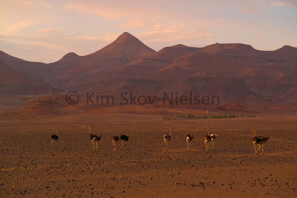 Damaraland ostrich at sunset
Then the fun really started. Picked up by Karibu Expeditions in two 4x4 vehicles with two guides - we headed down a 'C' road to the Springbok Water Gate to the Skeleton Coast National Park and at the coast turned northwards towards Angola - 600km away up the beach. At first, we were still on a 'D' road - a graded dirt road between two rows of rocks. That soon gave way to tracks in the sand.
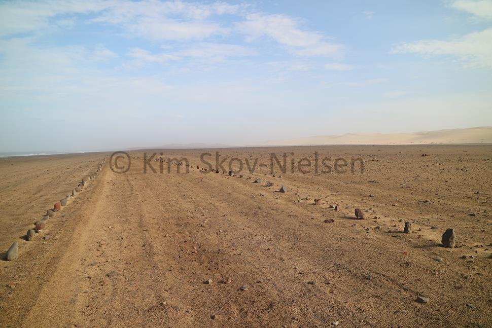 The 'road' north of the Huanib
First stop on the Skeleton Coast was bleak and unappealing Torra Bay for a sandwich lunch next to the roaring surf coming ashore on the rocks. Allegedly a top spot for beach fishing, it was deserted. Next, we stopped at Terrace Bay some 25km further up the coast for a final top-up with fuel and to fix a leaking tyre on the Land Cruiser in the mechanics workshop round the back. On this first day on the Skeleton Coast, between the Hoanib river and Moewe Bay, we came across the tracks of two desert lionesses come to the coast for a change in diet, some seal perhaps. We tracked them for a while until we lost their tracks amongst a herd of springbok. We would catch up with them later.
Then for the next 30km the dunes are covered in black magnetite dust from the iron-rich valleys in the interior. The prevailing SW'ly wind keeps the dunes moving at about 1km per annum across the Namib and into the interior. The coast grows seaward in some places at an astonishing rate too with shipwrecks a kilometre inland!
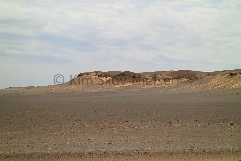 Black magnetite dust covering the dunes down to the sea below the Huanib
The thrumming of the dunes, the Soo-oop-wa, has been theorized to be due to the gradual compression of the sand as it moves. I felt it when I lay down to sleep that night and found the earth was moving under me - my camp bed was vibrating. I put it down, at least partially, to the strong wave action along the coast just 50m to seaward of my tent. Awoke to thick fog just north of Moewe Bay, and hyena tracks near our camp. The brown hyena is very shy and hard to catch a glimpse of. I never did see one, only tracks. We struck camp and continued north - now completely off-road as the road, as it was, ended at the Moewe Bay Ranger Station where we reduced the air-pressure in the tyres even further before heading off across the beach.
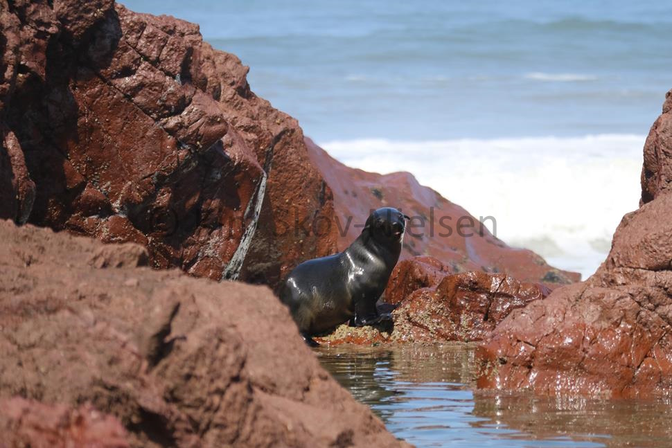 Seal pup at Rocky Point
From here north to Angra Fria the beach was strewn, littered even, with sawn and cut wood pieces from everything from small crates to sections large enough to be a mast or boom on a square rigger. I did find a boom with iron fittings - behind the Kunene camp building!
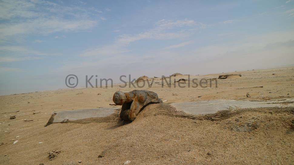 Shipwreckage aplenty
Many of the wrecks are known and named but others remain unknown and mysterious. The passengers of the Dunedin Star - when put ashore wandered off and came across a wrecked wooden fishing boat 5km south of their wreck site surrounded by headless corpses. One passenger went off his head, convinced he had seen his own fate in the sand. Indeed, just North of the Karimune wreck I found another wooden MFV in the sand, unknown and unidentified - yet I could make out that the main engine had once been a big 3-cylinder Lister diesel which makes it early 20th C.
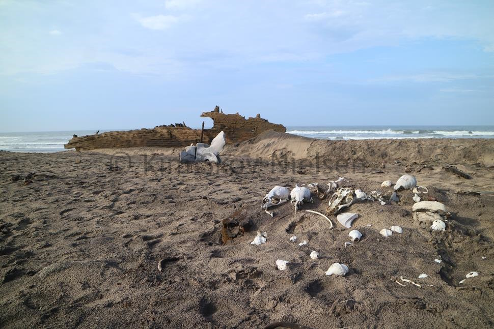 Unidentified wreck 5km N of the Karimune
Wrecks don't last long in the harsh environment of the Skeleton Coast - the 1942 wreck of the Dunedin Star is today indistinguishable as anything other than some rusty metal. The wreck and the nearby memorial to the two seamen of the tug Charles Elliott who gave their lives in the rescue effort are surrounded by jackal tracks. The North Skeleton Coast National Park is the size of Portugal. Permits are time-limited and tourist numbers are also limited; and there must be a 10-day gap between each permit to allow the wildlife to recover. Furthermore, the guides practice what they preach - we never camped closer than 5km to a water hole, or to a location of wild animals. Those animals that came to us in our camps did so out of curiosity or hunger. Not because we were in their spot.
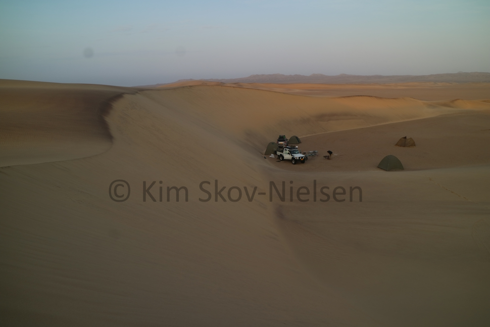 Sunrise at Sarussas
The drive up the beach is an adventure in off-road driving - at one point the track across the salt pans was marked only by sticks stuck into the salty water. I asked what was on the other side of the sticks if you got it wrong and was told 'quicksand'! We stuck to the track! A mud-covered vehicle in the desert sticks out somewhat but there was no-one around to comment. In fact, Namibia has huge underground water resources in aquifers. The ephemeral rivers of Africa disappear underground in the Namib - almost as if they know how valuable they are and are hiding their waters for future generations. There are over 177 known wrecks on the Skeleton Coast. The Portuguese navigators, looking for a way round the Cape, were of course amongst the first to come to grief on what they called the coast of death - Costa da Morte. In the Herero language Kaokoveld means 'the coast of loneliness'. Still largely uncharted, with shifting sandbanks, volcanic seamounts, and a 5-knot northward-flowing ice-cold Benguela current which originates in Antarctica and causes daily fog - all make it an extremely dangerous landfall. Even Bartolmeu Diaz, first man to round the Cape, flirted with the coast and took on fresh water at Sandwick Harbour - once well-known as a source where fresh water ran out of the dunes. Now silted over and buried beneath mountains of sand, other navigators sought out other fresh water sources on the Namibian coast. The Germans believed they could navigate the Kunene River to the Indian Ocean and the Brits went along with it, selling them the Caprivi Corridor full-well knowing that the Kunene does not in fact join directly with the great Zambezi - which goes over the lip at Victoria Falls anyways! Onwards, ever northwards, four days more up the beach, four more days of ship-wreckage, seals, cormorants, tons of whale bones, pelicans, jackals, vultures, hyena, petrels and snakes, four days of red iron valleys, green copper valleys, agate & amethyst mountains, and abandoned diamond mines - crossing the Hoasarib and the Kumib river deltas until I stood on the bank of the Kunene River looking North into Angola.
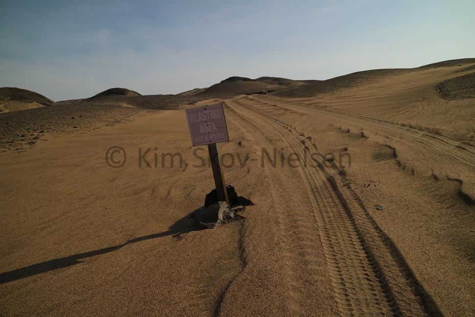 Just leaving the blasting area
Pelicans were enjoying that the rain in the interior had brought nutrients downriver so that the river mouth was awash with fish. They floated out on the brown riverflow, scooping up a few fish here & there before lifting off and flying back to the beginning of the outflow.
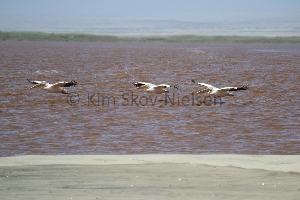 Kunene river pelicans
A shower, clean underwear, a cold beer, and a night amongst the dunes with a clear sky full of stars in the Kunene River camp. Then off across the sand sea that defines the northern border of the Skeleton Coast of Namibia. Across the river in Angola the land is barren and rocky yet still part of the Namib desert. We must cross the dunes to reach the Hartmann mountains which will take us back south. Not blisteringly hot - only 34ºC - we even had lunch dune-top as we repaired yet another flat tyre. The dunes may be soft, but underneath are sharp granite ridges that stick up like tyre-puncturing landmines. We also had to dig out the vehicles a couple of times. No problem.
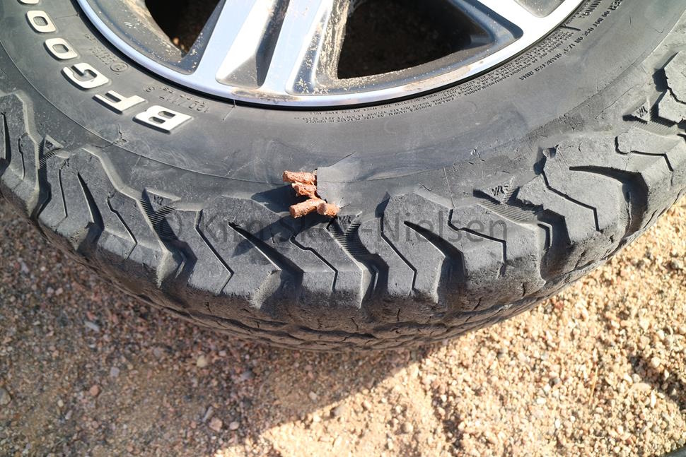 Tyre destroyed by granite spike
Georg Hartmann travelled this far north a hundred years ago in a donkey cart looking for a harbour at the Kunene River mouth - a harbour in the north has long been a Namibian obsession. He didn't find one and went south again. He named the mountains for himself and the river he found after his wife - the Marienfluss. We camped in the Hartmann's and believed we saw the eye-shine of a leopard late at night, checking out our camp from the rocks above.
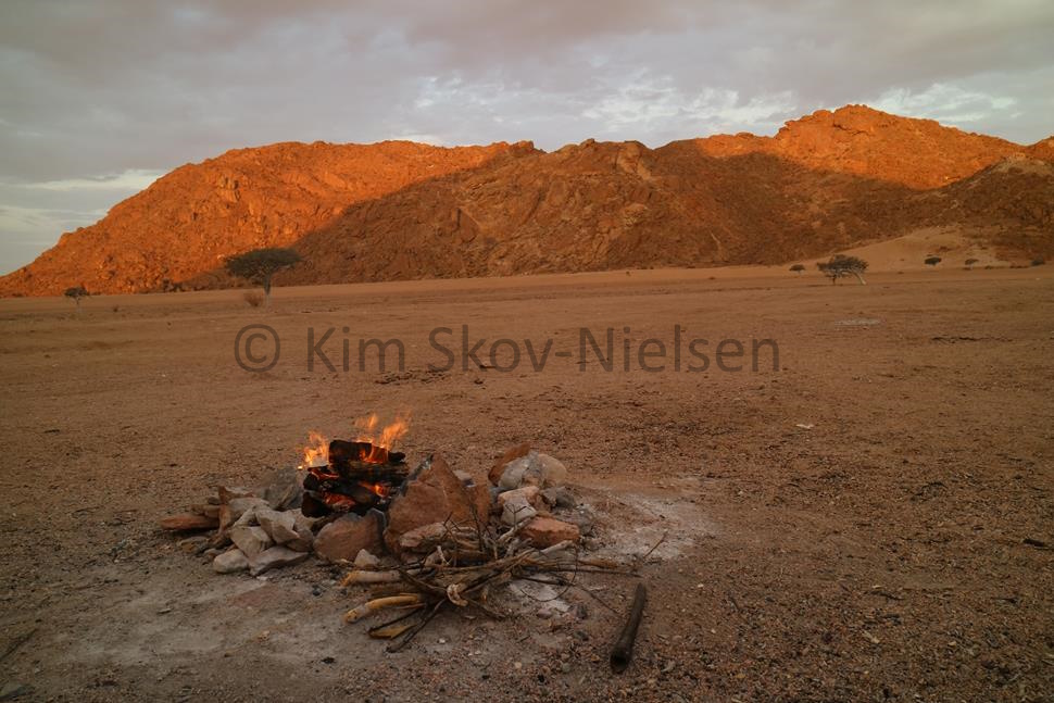 Hartmann range bivouac
I was amazed at times when presented with a fork in the road the guide unerringly chose the correct fork - without maps, without gps, without even a compass. I had expected to be able to cheat off their maps, but they didn't have even one map. It is all in their heads, the tracks and forks and viewpoints and distances in a national park the size of Portugal.
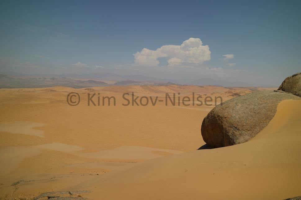 Looking south across the Namib to the Hartmanns
The drive south is a mind-numbing, bone-shaking, spine-jarring, head-ache-inducing, vehicle-shattering, tyre-blowing descent of the 'gravel valleys' which are corrugated with scientific accuracy to ruin your day. I'm not sure who came up with it, but this land has also been called 'the land God made in anger' - the Hartmann valleys fit that description - bleak, barren, harsh and yet beautiful. We blew another tyre and had to patch a fourth. Down to zero spares, I could feel the tension in my guide. The scenery is pure desert erg - gravel and sand mixed expansively across the landscape as we crossed Hartmann's Marienfluss track at the orange drum. There are four drums - red, orange, green and black that mark the track from the Kunene mouth to the Marienfluss river. Today they are covered in the stickers and names of the latest 'expedition' to cross the track. As in the Kunene camp where the walls are covered with tourists' names & places of origin. There I chose to name & thank my guides rather than put my name up there.
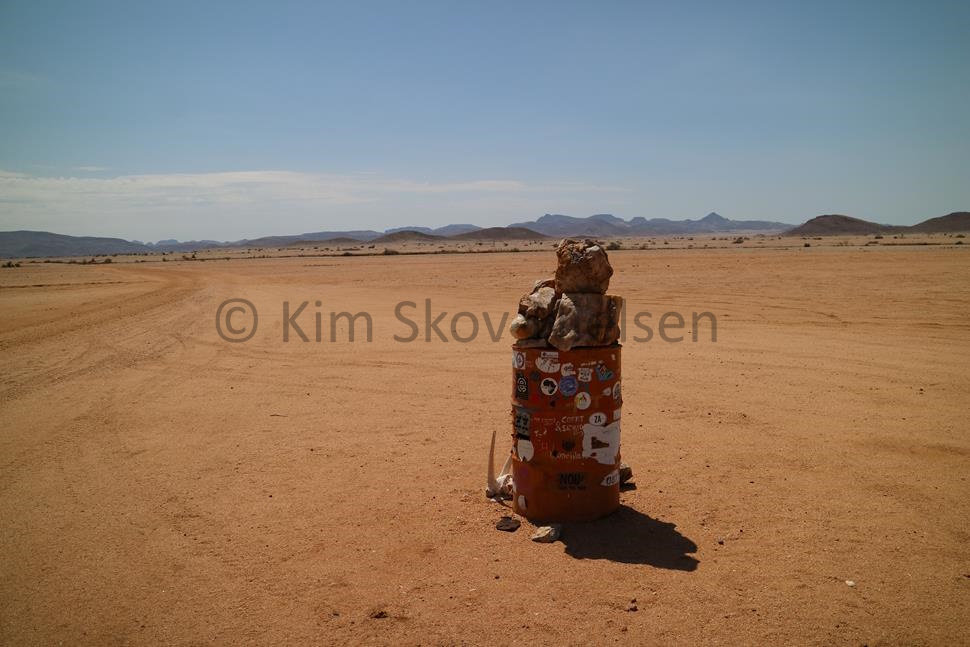 The orange drum
At the orange drum, after some hours in the gravel valleys, I asked innocently if this was where the road was going to improve. Elago just looked blankly at me and asked "What were you thinking, man? This is still Namibia!" Arriving beaten and exhausted at Puros on the banks of the Hoasarib river that evening we were offered a bungalow in the Karibu Puros Camp but all reverted to our tents as being more mosi proof. Another shower and a good night's sleep and onward to the Hoanib valley which is supposed to be the jewel amongst the ephemeral river valleys of Namibia. I wasn't that impressed - the Hoab and the Hoasarib and the Kumeb also impressed me! But I saw lion in the Hoanib! One vehicle split off to continue to Sesfontein for a new tyre to replace the one blown out and some patchwork on the others. Jenson and I went down to the Hoanib and saw baboon, elephant, giraffe, oryx and springbok. We lunched in the middle of the river unaware that there were two lionesses in the vicinity - as close as 400m. Maybe even the two we had tracked on the coast 7 days earlier. We camped in a bleak side valley away from the Hoanib water holes and were rewarded with Desert, or Cape, fox coming right up to our campfire. A sunrise game drive revealed nothing but after breakfast, in mid-morning, we were rewarded with the sight of two lionesses in a thicket. The HVC guide had spotted them and kindly gave way to us so we could get close. About ten metres separated me from two real live lionesses - and they were huge! Enormous! Frighteningly so! Full of that feline arrogance - to just glance at me and then look away as if to say - 'you are nothing'.
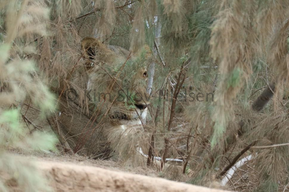 You beauty!
A kilometre away a bunch of young South Africans had camped right in the middle of the riverbed - which is strictly verboten - and were touring the riverbed standing up in the back of their pickups drinking beer whilst being loud & obnoxious. My guide Elago seriously hoped he would read something in the newspapers in the coming days about a young ZA or two being taken by a lioness in the Hoanib. At noon we left the Hoanib and drove up to Sesfontein where a football tournament was ongoing. To see so many people after not seeing any people at all for ten days, together with the noise and excitement of the tournament had brought out the whole community for a beer or three was a shock to my senses. I spoke to Mamie - the Commissioner for Football who had given up her career in the Bundesliga to work with young Namibian talent. We spent that night in a campsite just up the road in Khowarib.
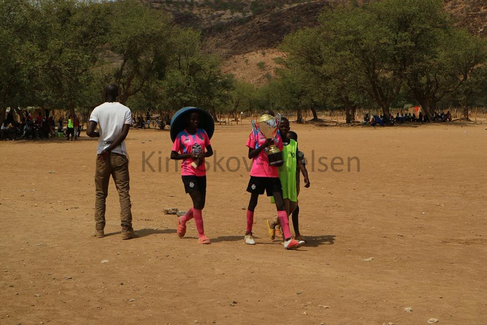 The winning team
The next day was another long drive south - first to Palmwag for fuel and another puncture repair. Our support vehicle - Jenson and the indestructible, jacked-up, souped-up V6 Toyota Land Cruiser pickup with the solar-powered fridge, the extra fuel & water tanks - split away here to go home while Elago and I continued on to Khorixas, Outjo, Otjiwarongo and finally the cheetah conservancy at Okonjima. Namibia has Africa's largest cheetah population and the area around Okonjima is at the centre of this population. The Okonjima lodge is pure luxury - we dined beautifully, and I went to sleep on deliciously crisp cotton sheets listening to the roar of lion. At sunrise I was privileged to be taken on a game drive where I listened to a cheetah purr.
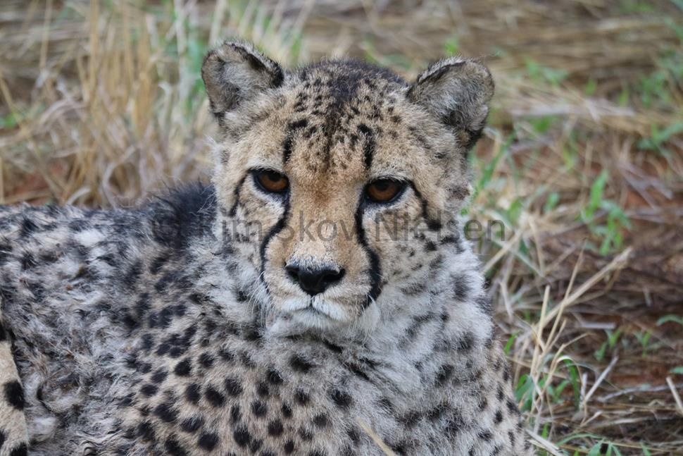 The cheetah that purred
Then it was off to the airport - on yet another bone-shaking, spine-numbing, vehicle-splintering, head-pounding, tyre-blowing, dusty, un-tarmaced D-road!! But with oryx, kudu, springbok and baboon for company - on a public road!
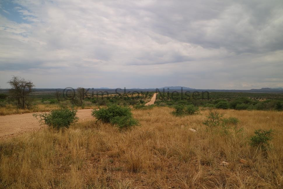 The road to the airport
We covered 1895 kms in ten days - and only 150 on tarmac. We completely destroyed one tyre in the dunes on a granite spike and had six punctures across two vehicles (one and five). We also had a shattered windscreen and had the front end almost literally shaken off, to be held in place with cable ties & duct tape. I have heard the lions roar and a cheetah purr, I have myself crossed the Namib desert and I have felt the Soo-oop-wa of the Skeleton Coast. I have felt myself part of the massive great expanses of the Namib and enjoyed the colours and textures of the desert - I have lived! Thank you, Namibia!
Text and photos © 2024 Kim Skov-Nielsen References: "The Beckoning Silence" - Book by Joe Simpson - 2001 "The Skeleton Coast" - Book by John Mash - 1944

